About the portal
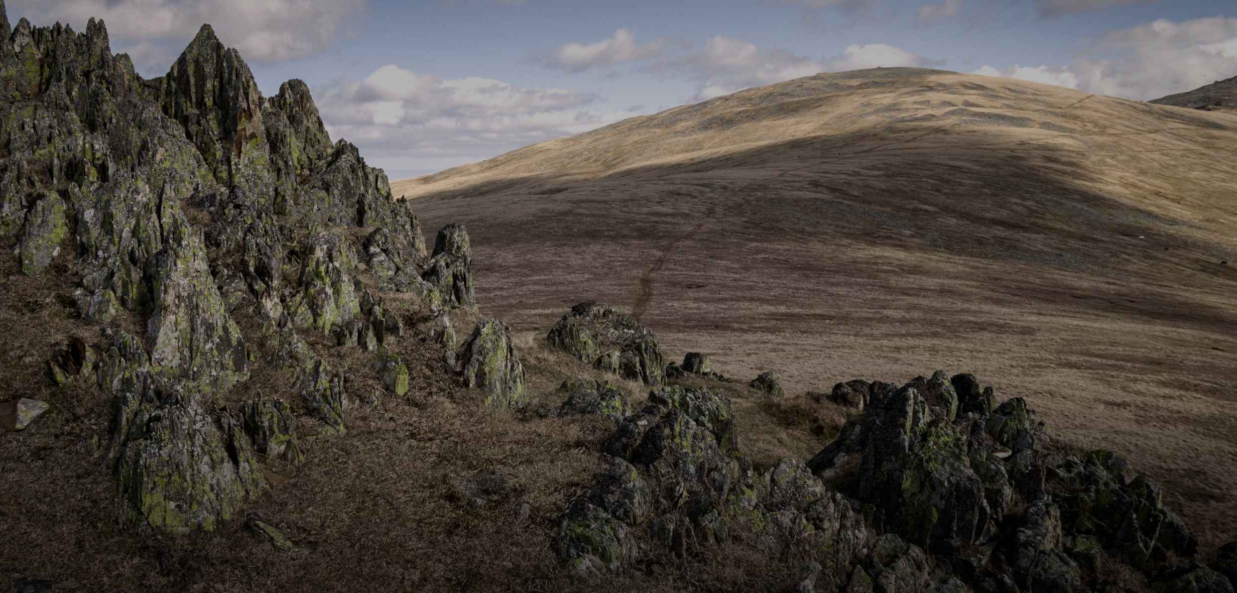
Explore our LIDAR 3D map of the Carneddau landscape to enhance your knowledge and understanding of both natural and historical detail.
Digitally remove buildings and vegetation to reveal previously unrecorded heritage features.
What is Lidar?
Light Detection and Ranging (LIDAR) is method of collecting geographical point data by flying over the landscape and using laser to measure height and distance. The resulting 3-dimensional map is a precise representation of the shape of the landscape and its surface characteristics.
How to use lidar data
By exploring the 3D Lidar mapping, you can identify man-made structures, see the full breadth of vegetation cover, and understand the shape of the landscape as a whole. You can digitally remove surface data to reveal long-forgotten heritage sites, such as mines or dwellings, so that archaeologists can focus their ground exploration.


Get involved
Become a ‘citizen scientist’ and help to discover, understand, and preserve the natural and cultural heritage of the Carneddau landscape, by exploring the Lidar mapping and identifying new and exciting historical sites.